
Drones see the ground.
VideoDB makes that view decision-ready.
A field-operations team combined geospatial maps in ArcGIS with realtime drone video on VideoDB. Every frame now arrives on the map, indexed and queryable, in the same second it was captured.
 Live mission · coordinated fleet
Drone footage was a recording,
not a signal.
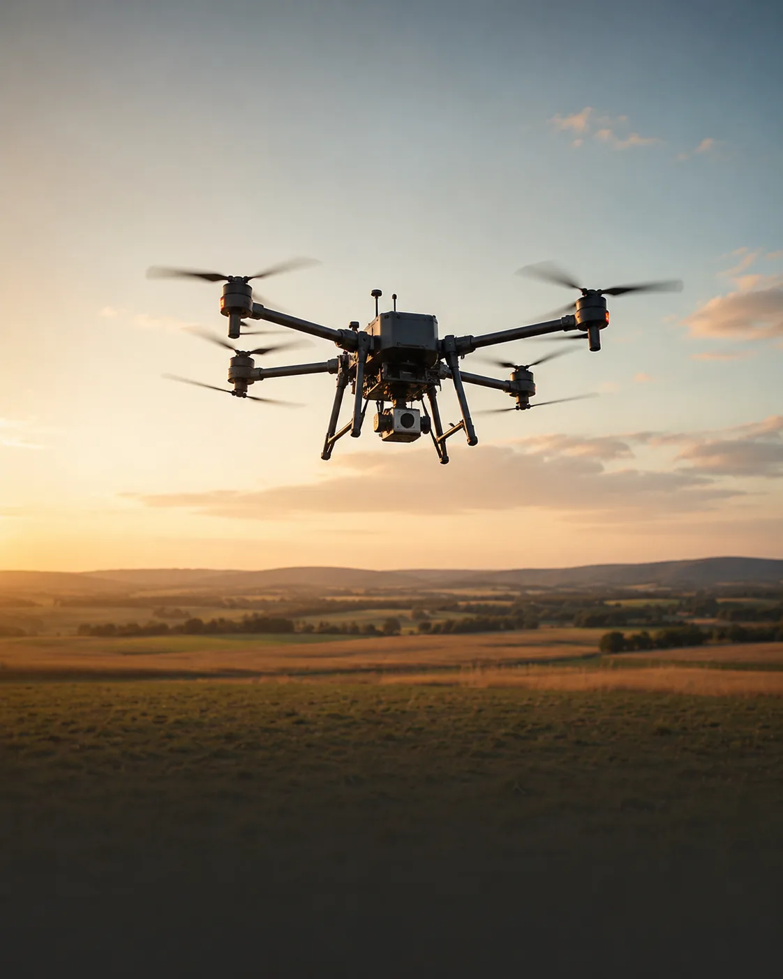
The operations team flew a growing fleet of drones across hundreds of square kilometres. The footage was useful, eventually. Files landed in storage after each sortie. Analysts opened them the next morning, scrubbed timelines, and wrote reports.
By then, the moment was gone. A vehicle had moved. A field had been harvested. A perimeter had been crossed. Decisions that needed to happen in flight were happening in hindsight.
The map in ArcGIS already showed where every drone was, in realtime. The video those drones were capturing did not.
One picture.
Position and perception, together.
The team kept ArcGIS as the source of truth for geography. They added VideoDB as the source of truth for what the cameras were seeing. The two layers now live on the same screen.
Every drone streams RTSP into VideoDB. Each frame is timestamped and tagged with the drone's GPS pose from ArcGIS. The combined feed becomes a single object: a moving camera with known location, looking at known terrain, captioned by a model the team chose.
A single screen
where ground truth lives.
The map went from a tracker to a live operations console. An analyst can pin a moving target on the map, see what each drone in range can offer, and replay the clip that proves the call.
The team stopped writing summary reports the next morning. They started making the call the same minute.
“The map used to tell us where our drones were. Now it tells us what they are seeing, while they are still seeing it.”
Operations lead · field deploymentYour drones are already in the air.
Make every frame count.
We will pair an SE with your team and ship a spatial-video pilot in weeks.